

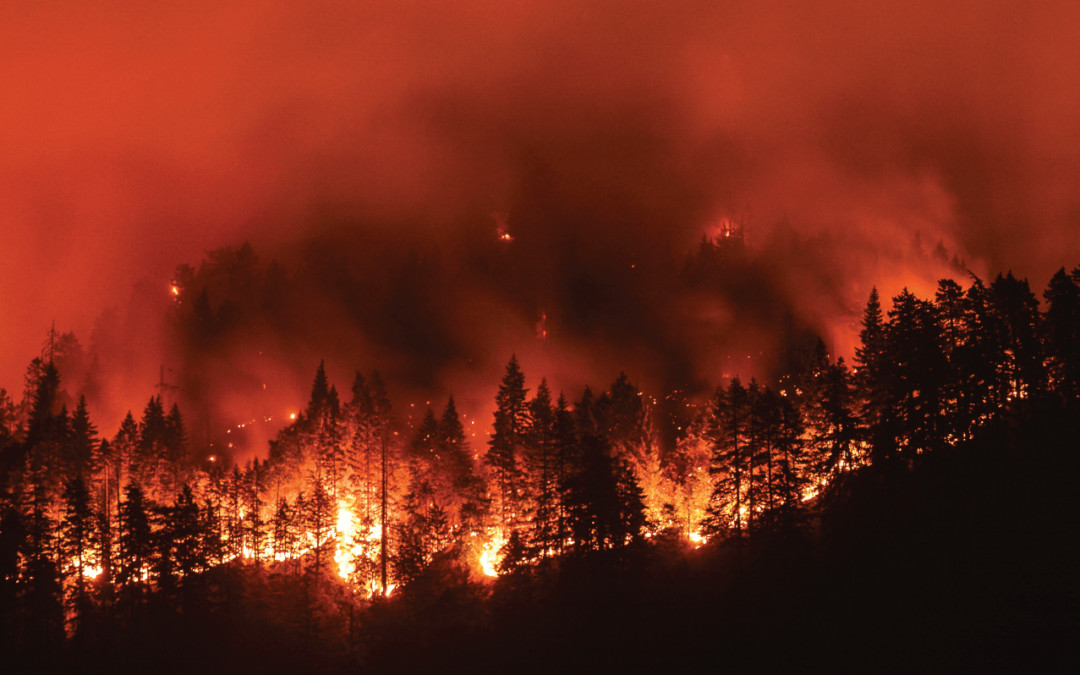
Wildfire season is upon us. It’s time to take a detailed look at your risk portfolio to best understand how the upcoming months will impact your insurance business. In 2018, wildfires were, on average, 30% larger by acreage than average wildfires over the past decade – a stark fact that points to increasing damage numbers as we move further into this age of climate change.
Learn how you can best prepare for wildfire-related claims by understanding the risk factors and historical facts surrounding these blazes.
Top 5 most expensive wildfires in the U.S
-
$8.5 – 10.5 B; Camp Fire, CA; Nov. 8-25, 2018
-
$7.5 – 9.5 B; Tubbs Fire, CA; Oct. 8-20, 2018
-
$3 – 5 B; Woolsey Fire, CA; Nov. 8-22, 2018
-
$2.5 – 4.5 B; Atlas Fire, CA; Oct. 8-20, 2017
-
$1.5 – 3.5 B; Thomas Fire, CA; Dec. 4-23, 2017
Wildfire paradox: by the numbers
When the ash settles, the fact remains: Wildfires are a clear and present danger across the U.S. Population density, climate change and even our propensity to extinguish fires immediately (leaving more dead underbrush and old-growth forests) all work to increase the odds of significant and costly wildfire outbreaks.
You can warn policyholders to stay out of harm’s way, but the best defense for insurance agencies is to write smarter policies that fully incorporate the risks associated with local topographical, environmental and population factors.
- 85% of wildland fires in the U.S. are caused by people.
- 2%-5% of global wildfires are caused by lightning.
- There is a 12% in the lightning activity for every degree Celsius our planet warms.
- Because of climate change, 11 states could suffer a 500% rise in burned acreage over the next 18 years.
- 9 of California’s 10 largest wildfires have occurred since 2000.
- 129 M dead trees are in California spreading across 8.9 M acres. That’s 6,450x the number of trees in Central Park.
- A 15% increase in forest precipitation is needed to compensate for increased dryness for every degree Celsius our planet warms.
GaugeWildfire: the wildfire risk analysis you need now
Understanding the wildfire risk factors present within your coverage area is key to writing and renewing policies that maximize your coverage for customers while optimizing your risk. Our GaugeWildfire with Anchor Point No-HARM risk assessment solution incorporates ground-truth data collected through working with more than 30,000 communities. We leverage more than 150 years of wildfire firefighting expertise to ensure model components are realistic and accurate.
Our proprietary algorithm blends frequency and severity components across three distinct modules to calculate seamless wildfire risk scores for the contiguous U.S.:
Wildland Module
Incorporates fire behavior modeling, probability and historical fires. GaugeWildfire derives burn frequency from 50,000 fire ignition points and a physical model constrained by fuel type and fire intensity.
Light Development Module
Accounts for wildfire behavior changes as fires encroach on developed areas. Inputs include neighborhood slope and aspect, vegetative cover and height and distance to nearest surface water source.
Urban Fringe Module
Includes proximity to neighboring fuel sources and crown fire distances to define zones of ember risk. As urban areas lack natural fuel for wildfires to burn, risk factors include winds, embers and smoke.
About Anchor Point No-HARM
Anchor Point’s National Hazard and Risk Model (No-HARM) was created in response to the growing need for a scientific, accurate, consistent and up-to-date wildland urban interface hazard and risk assessment throughout the U.S. The No-HARM fire behavior model takes state-of-the-art inputs and, informed by Anchor Point’s decades of wildfire suppression and fire modeling experience, creates predictions of potential fire behavior, including fireline intensity.
Insurance wildfire infographic

Extinguish your wildfire risk. Contact our wildfire experts today.