

How weather conditions impact west coast blazes
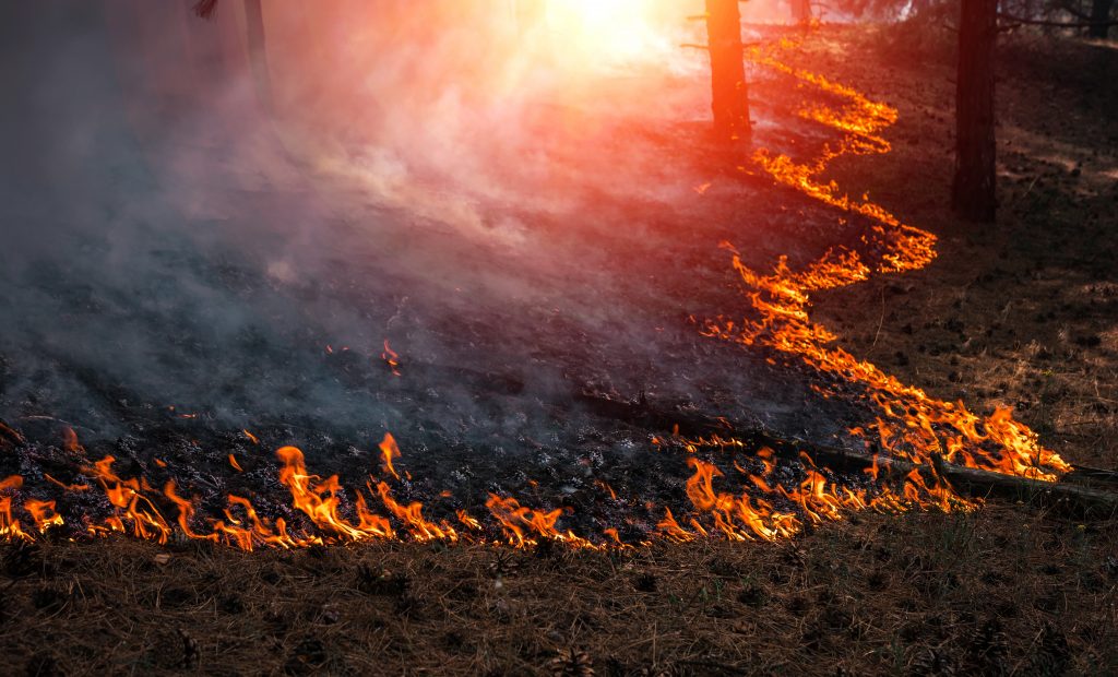
Wildfire season is upon us. Amid the devastation and evacuations, the same questions arise: What causes these wildfires, and why is the West Coast so vulnerable? Recent events have sparked discussions around wildfire risk factors, with northern California’s mandatory power outages and multiple fires burning throughout the state.
The main ingredients of all fires are fuel, airflow and heat. In the western U.S., fuel is abundant thanks to dry, desert-like conditions and millions of acres of wild, untamed forests. And the spark can come from nearly anything: a burst from an electric transformer or even a cigarette butt tossed from a moving vehicle.
… But what really feeds these flames is wind.
Let’s take a detailed look at the relationship between wind and wildfires and how our GaugeWildfire, DexterWildfire and IRIS solutions can assess risk factors and provide insurers with post-wildfire data to quickly process and verify claims.
A volatile relationship
News reports cite wind conditions when mentioning a wildfire’s ignition, spread and containment – and for good reason. Wind is a complex meteorological feature whose behavior is the least predictable and most variable of the weather elements. Wind speed and direction interact with the earth’s surface, and both natural and man-made obstacles act as barriers that direct, increase and decrease wind speeds.
Mountains play a pivotal role in regional wind behavior, especially with wildfires. Foehn winds (also known as Chinook winds in North America) are dry, warm winds that flow down the slopes. They are formed when moist, warm air from the Pacific Ocean blows in; as the air is thrust over the peaks, it cools down, dries out and then rapidly warms again (without the moisture) as it blasts downward at high speed – over 40 mph in some cases, with even stronger gusts.
In Southern California, these are known as the Santa Ana winds, and they form on the western slopes of the Sierra Nevada and Santa Ana mountains. The Great Basin’s high pressure steers desert winds westward toward lower pressure areas along the California coast. As the airmass travels over the mountains and squeezes through passages and canyons, it rapidly accelerates wind speeds.
In both cases, it’s the dryness of the air that fans the flames and stokes the embers. The forceful winds and lack of humidity supply fires with supplemental oxygen and can carry embers for miles, skipping over highways and causing wildfires to spread across the landscape.
Gauging wildfire risks and examining the aftermath
Insurers need an analytics suite that monitors Foehn winds and other risk factors to create risk scores and map fire-prone areas. GaugeWildfire, with Anchor Point No-HARM risk modeling, is a comprehensive risk assessment solution that catalogs ground-truth data from 30,000+ communities to ensure wildfire risk scores accurately represent real-life conditions, including topographic data and wind speeds.
GaugeWildfire combines with DexterWildfire post-event analysis data to identify wildfire perimeters and IRIS aerial imagery analysis to verify damage and enable claims adjusters to more quickly process claims.
We leverage over 150 years of combined firefighting expertise to ensure model components are realistic and accurate. Our risk scoring model considers wildfire frequency and severity and adjusts for factors that make firefighting easier (e.g., proximity to a fire station or body of water) or more difficult (e.g., complex, rugged terrain). The model also considers potential exposure to windblown wildfire embers and smoke in areas where there is otherwise minimal risk.
Prepare your adjusters for wildfire impacts with our “Fire drill: are you ready for wildfire claims season?” whitepaper
Get a free demo today to learn how your insurance business will benefit from our wildfire risk solutions.